
Over the past three years, CREEC, working with the World Resources Institute (WRI) and other energy-sector stakeholders, CREEC has been developing and testing a GIS-enabled approach to sub-national energy planning.
The work began with a central question: How can Gulu District and Gulu City achieve universal electrification by 2040 in a way that is technically feasible, affordable and responsive to local development priorities?
Answering this question required more than identifying communities without electricity. We needed to understand where energy demand exists, where it is likely to grow, which technologies could serve different areas, what investments would be required and whether households, businesses and public institutions could afford the resulting services.
The first stage involved building a spatial evidence base for Gulu. This included data on population and settlements, schools and healthcare facilities, productive-use activities, household economic conditions, roads, existing electricity infrastructure, solar resources and administrative boundaries.
Using the open-source Energy Access Explorer (EAE), we combined demand and supply indicators to identify areas where energy investments could generate the greatest development impact. This resulted in three priority scenarios:
- High-potential productive zones, where electricity could support existing and emerging economic activities.
- Underserved social-infrastructure zones, where schools, healthcare facilities and other essential services face significant energy-access gaps.
- Deeply marginalised and high-need areas, where limited infrastructure, low household readiness and high levels of deprivation may require targeted public support.
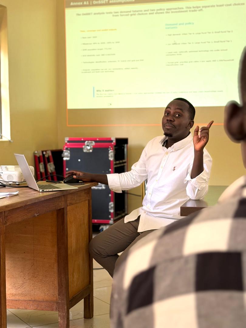
The EAE analysis helped identify where different energy-access interventions should be prioritised. We then used the Open Source Spatial Electrification Tool (OnSSET) to examine how these areas could be electrified.
Through OnSSET, we compared different demand and policy scenarios, including high- and low-demand futures and least-cost and grid-focused approaches. The analysis assessed the potential roles of grid densification, grid extension, mini-grids and standalone solar systems, together with their indicative investment requirements.
However, identifying a technically least-cost solution is not the same as ensuring that people can afford it. We therefore complemented the spatial and technology analysis with an affordability assessment covering households, small and medium-sized enterprises, schools and healthcare facilities. This assessment considered barriers such as upfront connection costs, service fees, access to finance, the reliability of electricity services and the suitability of different financing and delivery models.
This process produced a strong analytical foundation, but maps and models cannot fully capture conditions on the ground. Local knowledge is essential for identifying missing facilities, changing settlement patterns, emerging economic activities and community priorities that may not yet appear in available datasets.
That is what brought us to today’s validation workshop.
Earlier today in Gulu, we met with city and district officials to review and validate the energy-planning analysis exploring how Gulu can achieve 100% electrification by 2040, in line with Uganda Vision 2040.
The workshop was not simply about presenting completed maps. It was an opportunity to place the evidence before the people who understand Gulu’s communities, institutions and development priorities and ask: Does this analysis reflect reality? What is missing? What needs to change before it can guide implementation?
Officials confirmed that the three scenarios were relevant and that the EAE priority zones broadly reflected local conditions and the priorities of Gulu City and District.
The discussions also identified important areas for strengthening the analysis, including:
- Integrating additional productive-use opportunities, particularly in deeply underserved areas with potential for agricultural development and stone quarrying.
- Updating sub-county, city and district administrative boundaries and incorporating other missing datasets.
- Deepening the assessment of affordability barriers, including upfront costs, service fees, access to finance and electricity reliability.
- Ensuring that proposed interventions respond to local needs and the changing realities of communities.
- Refining the analysis using the knowledge and evidence provided by city and district stakeholders.
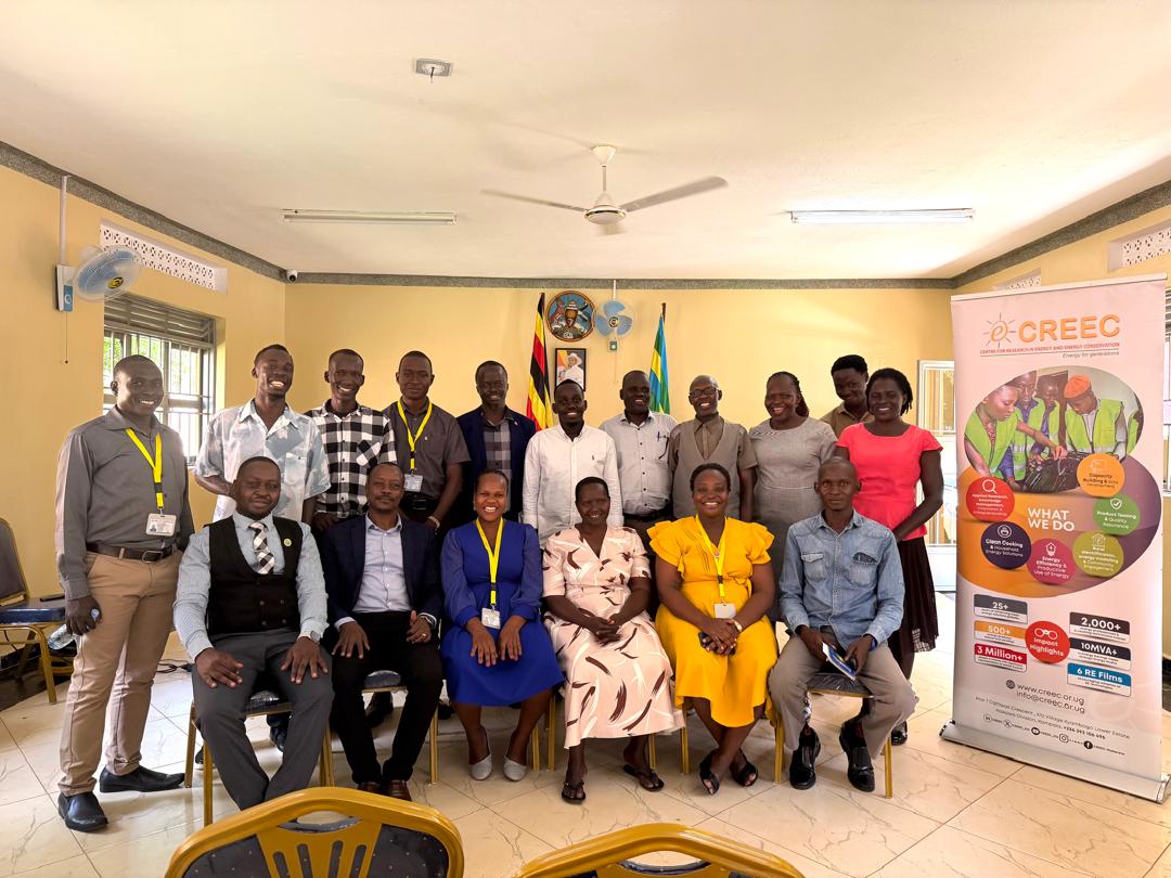
What stood out most was the value of bringing spatial evidence and the people who understand the local context into the same room.
Energy planning is not only about mapping where electricity is needed. It is about understanding where investment can have the greatest impact, which technologies are appropriate, what barriers communities face and what must happen to move from analysis to implementation.
Today’s validation represents an important milestone in a three-year journey. The feedback received will now be incorporated into the analysis, helping transform the technical findings into an energy-access plan that is evidence-based, locally grounded and focused on implementation.
It brings us one step closer to a practical pathway for universal, affordable and sustainable electricity access in Gulu.